Sam Werner · 24 September 2026
Tarnfield Volunteers Connect Dry Stone Wall Repairs with Stream Gauging and Woodland Corridor Projects
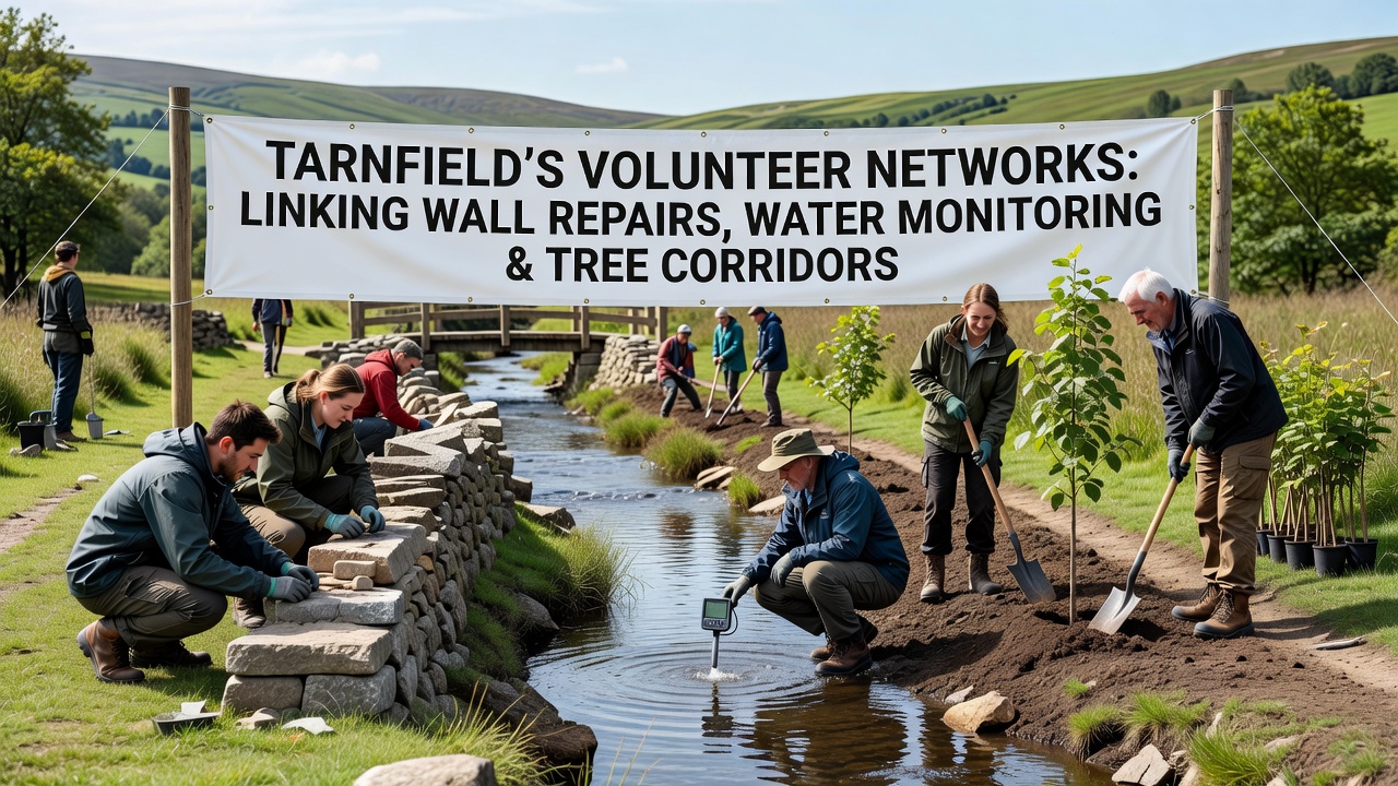
Local volunteer groups in Tarnfield have established coordinated programs that tie together maintenance of traditional field boundaries, installation of water level sensors along streams, and planting of native tree lines to create continuous habitat routes. These efforts draw on records from the Environment Agency showing consistent summer low-flow periods since 2018, and they align planting schedules with species lists from the Forestry Commission. Groups meet monthly at the parish hall to review sensor data logs and assign repair crews to sections where walls have slumped near eroding banks.
Wall Repair Techniques and Scheduling
Teams use locally sourced gritstone and traditional through-stone methods to rebuild sections averaging 12 meters in length. Data from 2024 surveys indicated 47 compromised stretches along the eastern parish boundary, and volunteers completed 19 of those by July 2025. Work continues through autumn months when ground conditions allow safe access without heavy machinery, and crews document each repair with GPS-tagged photographs stored in a shared database maintained by the Tarnfield Conservation Society.
Integration with Water Monitoring Stations
Along the same watercourses, volunteers install simple staff gauges and automated pressure sensors that record levels every 15 minutes. Readings feed into an open spreadsheet updated weekly, allowing comparison against rainfall totals collected by the Met Office weather station three miles north. One project site near Mill Beck now shows how rebuilt walls reduce livestock trampling that previously widened the channel by up to 0.8 meters in places.
Tree Corridor Development
Native species including oak, hazel, and blackthorn are planted in 10-meter-wide strips that connect existing woodland patches to the repaired wall lines. Planting records from 2023 list 1,240 saplings across six corridors, and survival rates reached 87 percent after the first winter according to follow-up counts. These linear features provide shelter for small mammals while slowing surface runoff during heavy rain events, as measured by the same sensor network used for stream monitoring.
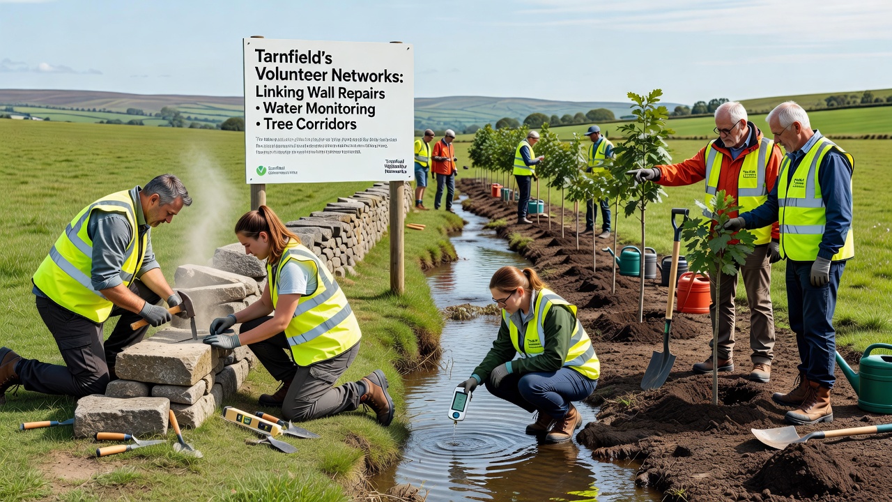
Coordinated workdays in September 2026 are set to focus on the final three wall sections adjacent to a newly extended corridor near Tarnfield Beck. Volunteers will simultaneously check sensor calibration and replace any failed tree guards before winter. The combined approach reduces travel time between sites and allows equipment sharing, such as the trailer used to move both stone and mulch.
Data Sharing and External Partnerships
Findings from the combined projects are shared with the Environment Agency through quarterly summary reports. Similar volunteer-led initiatives in other UK regions have contributed comparable datasets, and Tarnfield's records now form part of a wider analysis of catchment-scale interventions. Researchers at Newcastle University have requested access to the raw sensor files for a study on microclimate effects within newly planted corridors.
Equipment and Training
Participants receive basic training in both dry-stone construction and sensor maintenance from certified instructors. The parish council supplies tools and protective gear, while a local quarry donates stone offcuts at cost. Budget records for the current financial year show £4,800 allocated to materials and training sessions, with an additional £1,200 earmarked for replacement sensors.
Conclusion
By September 2026 the network expects to have 28 wall sections restored and four continuous tree corridors established, with water data streams running uninterrupted for 18 months. The linked activities demonstrate how separate conservation tasks can operate under one volunteer framework when schedules and locations overlap. Records kept by the groups provide a clear account of work completed and measurements taken, available for review by any interested party through the parish archive.