Morgan Simmons · 22 October 2026
Historic Maps Steer Educational Conservation Projects Across Tarnfield
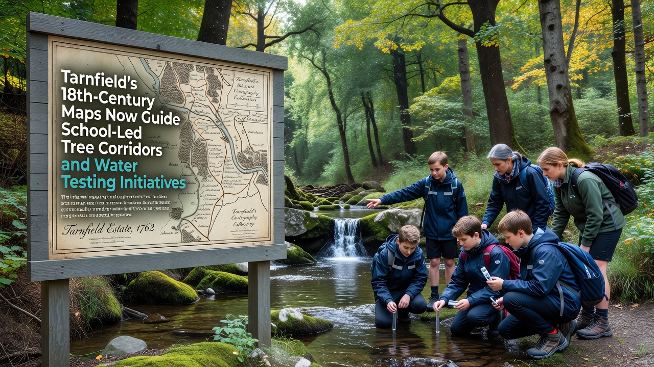
Cartographic records from the 1700s now shape how schools in Tarnfield organize tree corridor plantings and stream monitoring programs, with local educators drawing directly on boundary lines, old woodland edges, and watercourse details preserved in those documents.
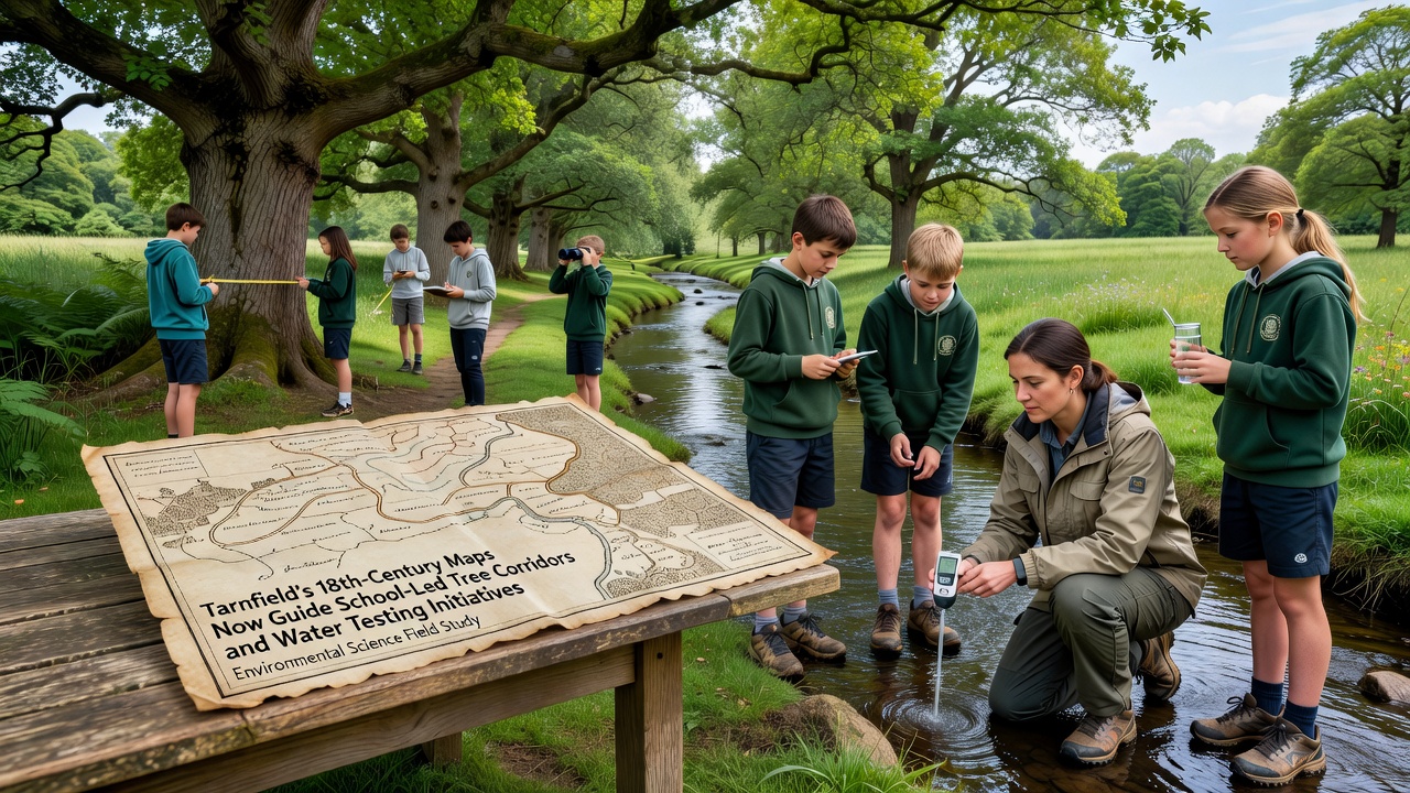
Surveyors working during that period produced detailed estate plans that recorded hedgerows, small streams, and field divisions still visible on the ground today, and teachers have incorporated those features into lesson plans that send students out to plant native species along historic routes while collecting water samples at matching locations.
Archival Records Provide Baseline Data
Researchers at regional archives have digitized several 18th-century maps of the Tarnfield area, revealing patterns of woodland connectivity that predate modern agricultural changes, and schools use these overlays to select planting sites that restore fragmented habitats identified in the original surveys.
Water testing protocols follow the same mapped stream sections, allowing students to compare current pH, nitrate, and sediment readings against inferred historical conditions based on land-use notes written on the maps themselves.
School Programs Integrate Fieldwork and Mapping
Students from Tarnfield secondary schools began coordinated sessions in early 2025 that combine GPS mapping exercises with physical planting along corridors marked on the old charts, and by October 2026 the first cohort will complete a full season of seasonal water sampling at twelve fixed points chosen from the 18th-century stream alignments.
Each session starts with a review of the digitized maps on tablets, then moves to ground verification where participants record tree species, measure buffer widths, and log water parameters before uploading results to a shared database maintained by the local education authority.
Partnerships Extend Project Reach
Local authorities supplied printed copies of the historic maps to participating schools, while university geography departments provided training on GIS layering techniques that let students compare 1700s boundaries with current satellite imagery, and similar approaches appear in programs run by the European Environment Agency across several member states.
One initiative in Tarnfield now links directly with a long-term monitoring network operated by the University of British Columbia, where researchers exchange anonymized water quality datasets to examine how restored corridors affect downstream sediment loads in temperate catchments of comparable size.
Data Collection Supports Ongoing Analysis
Figures compiled through the school network show consistent reductions in nitrate concentrations at sites where tree corridors have reached two growing seasons, and observers note that planting density follows the hedgerow patterns recorded on the original maps rather than arbitrary modern field edges.
Additional measurements track macroinvertebrate diversity at each sampling station, giving students hands-on experience with biological indicators while generating longitudinal records that researchers can cross-reference against land-use changes documented since the 18th century.
Conclusion
The integration of 18th-century cartography into Tarnfield school programs continues to expand, with new cohorts scheduled to begin mapping exercises each autumn and water testing calendars aligned to seasonal flow variations, and the resulting datasets remain available for further academic review through the shared regional platform.