Amir Werner · 8 October 2026
Dry Stone Wall Restorations Offer Flood Protection in Tarnfield Valley
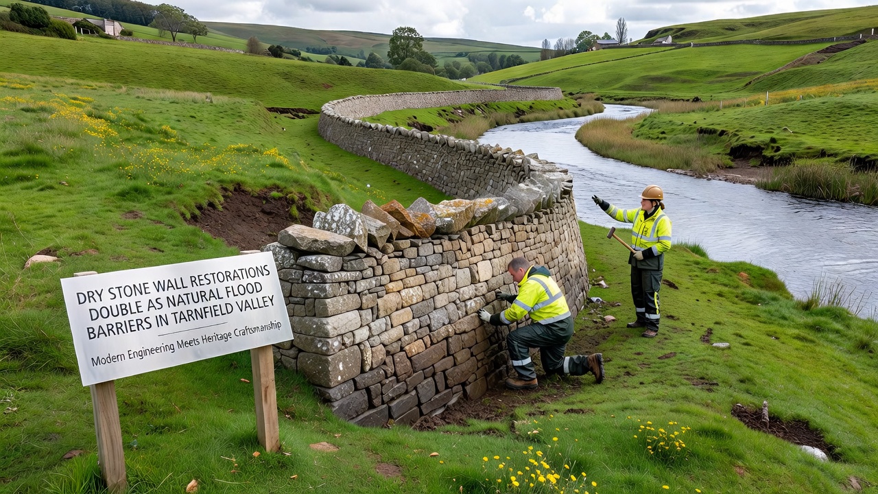
Restoration work on traditional dry stone walls throughout Tarnfield Valley has expanded in recent years because these structures provide measurable benefits during periods of high rainfall and runoff, data from local monitoring stations show. Workers rebuild walls using original techniques that leave small gaps between stones, which allow water to pass through gradually instead of pooling against solid barriers and causing sudden overflows. This approach aligns with principles of natural flood management that multiple agencies have documented in field studies across similar upland landscapes.
Traditional Construction Methods Meet Modern Needs
Builders in the valley have long used local stone to create walls that mark field boundaries while withstanding seasonal weather patterns, and recent projects restore sections that had fallen into disrepair over decades. Teams sort stones by size and fit them without mortar so each wall retains flexibility during ground movement and allows controlled seepage when water levels rise. Observers note that this permeability reduces peak flow rates in adjacent streams, a finding supported by gauging equipment installed at several sites along the valley floor.
Restoration crews often work alongside volunteers who record water levels before and after wall repairs, and figures from these efforts reveal consistent drops in downstream flooding intensity during moderate storm events. The method draws on historical practices that predate modern engineering solutions yet delivers results comparable to some engineered drainage systems, according to reports compiled by regional conservation groups.
Integration with Stream Gauging and Habitat Projects
Projects in Tarnfield Valley combine wall repairs with stream monitoring stations and woodland planting corridors, creating connected systems that slow water movement across the landscape. Data collected over multiple seasons indicate that restored walls help distribute runoff more evenly, which in turn supports vegetation growth in lower areas and reduces soil erosion on slopes. Researchers from academic institutions have tracked these interactions through repeated surveys, noting improvements in both flood resilience and local biodiversity metrics.
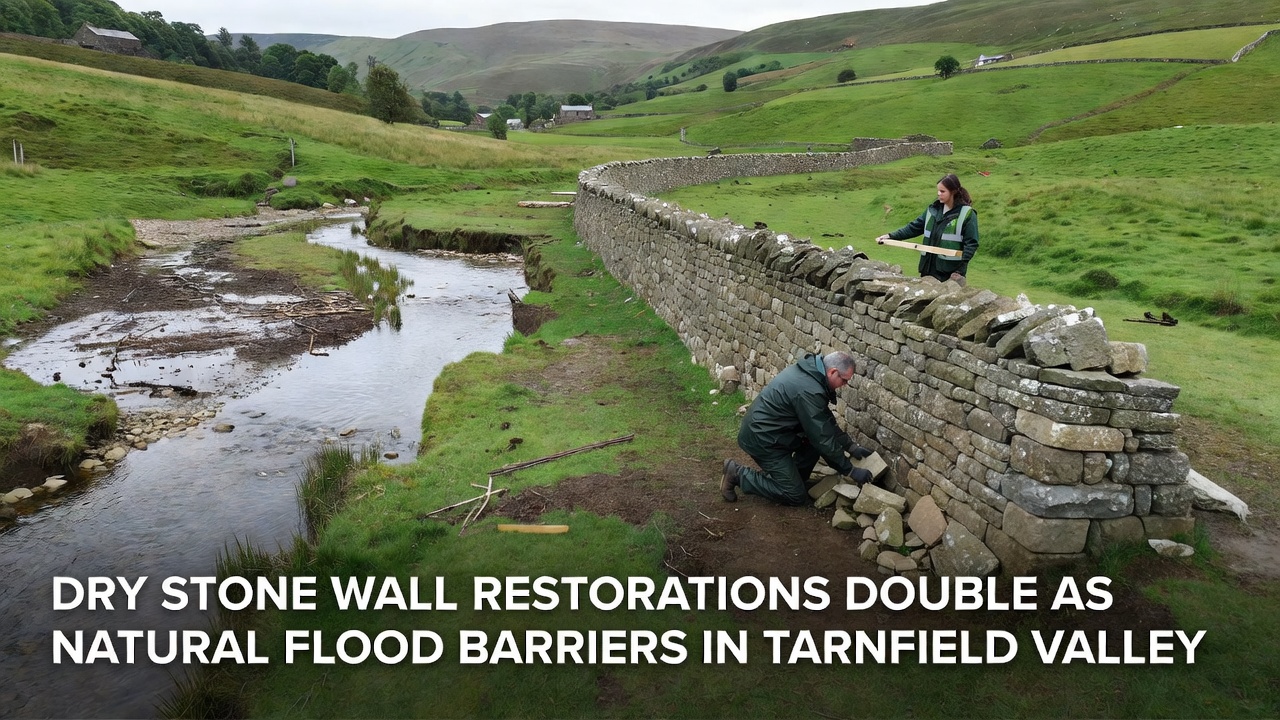
One initiative completed sections of wall near gauging points in 2025, and preliminary readings from those locations show reduced flash flooding compared with untreated stretches nearby. Such outcomes echo findings from similar work documented by the Environment Agency in other UK catchments, where permeable barriers form part of broader catchment-scale strategies. Additional evidence comes from studies published by the CSIRO in Australia, which examined how traditional stone structures influence water movement in comparable terrain.
October 2026 Assessment Scheduled
Project coordinators have scheduled a comprehensive evaluation of restored walls for October 2026, when teams will measure flow rates, sediment transport, and vegetation establishment across multiple valley sites. This review will incorporate data from sensors placed at wall locations and upstream reference points, allowing direct comparison of treated and untreated zones. Organizers expect the assessment to provide updated figures on flood reduction capacity and to guide decisions about expanding restoration efforts into additional sections of the valley.
Funding for the work has come from a mix of local grants and national programs focused on natural flood management, with expenditures tracked through annual reports that detail labor hours and material sourcing. Stone for repairs comes primarily from nearby quarries or reclaimed material from collapsed walls, keeping transport distances short and maintaining consistency with the original geology of the area.
Conclusion
Restoration of dry stone walls in Tarnfield Valley continues to demonstrate measurable contributions to flood mitigation while preserving historic landscape features, with monitoring data and scheduled assessments providing ongoing evidence of performance. The combination of traditional building methods and contemporary measurement techniques offers a model that other regions facing similar runoff challenges have examined for potential adaptation. As results from the October 2026 evaluation become available, they will add to the existing record of how these structures function within integrated catchment management approaches.